Introduction
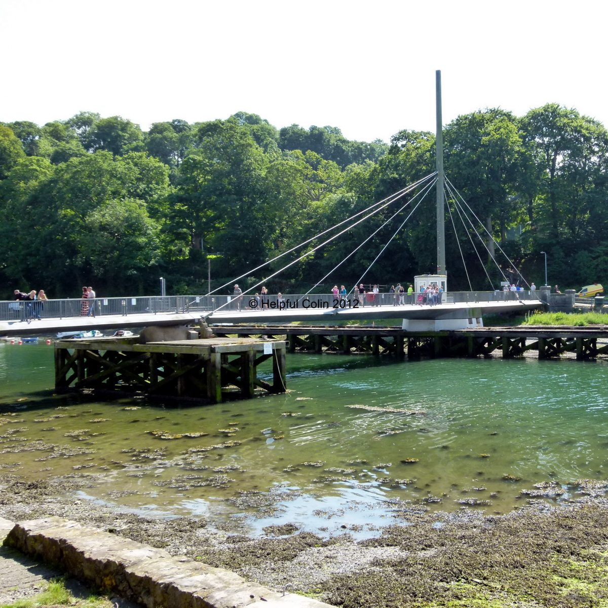
The Caernarfon Swing Bridge is found crossing the River Seiont adjacent to Caernarfon Castle.
The town of Caernarfon is a beautiful clean Royal Town in the summer sun, sitting on the northwest coast of Wales just south of Anglesey. Unfortunately tidal rivers rarely look nice especially when the low tide exposes the mud. If you look carefully at the River Seiont on the left you will at least see through the water to the muddy bottom. So you can see how clear the water is. This is the view looking up river from the mouth by Caernarfon Castle.

This is the Bridge Keeper’s Lodge which is just to the right of the bridge on the south bank.
Looking back at the town from the Caernarfon Swing Bridge
Having crossed the bridge to the south bank we see a view of yachts moored on the edge of the channel as we look up river from a bend near the bridge, and across the river is the town with buildings set upon a rise. In this picture the tide is in. When the tide goes out the boats tend to settle down on the mud. The tidal range here is nearly 5 metres.

Closing The Caernarfon Swing Bridge
Having been opened to allow a boat through, the Swing Bridge is rotated back into it’s normal position for pedestrian use.
The closing procedure lasts 2 minutes. See the video of the swing bridge in operation below.
Apparently canoeists have had a lot of trouble from fisherman on this river and there was an event referred to as a mass trespass in 1988. Here are some photos of it.
Before I leave this subject I’m sure you’ll want to be reminded what the castle looks like. So take a look below. It sits on a very low lying rock on the north bank of the Seiont directly opposite the swing Bridge Keeper’s House.

The Caernarfon Swing Bridge (Pont Yr Aber) can be located on the map below:
END OF POST
Leave a Reply